| Day 1 Profile |
Day 1 Route |

|

|

| Day 1 Profile |
Day 1 Route |
|
|
|
The hike this first day was the most challenging, with two ascents from 1300 to 1700 ft. The trail itself was well marked (as usual on the SHT), and was for the most part fairly easy. The snow made it a bit more challenging. The hardest obstacles was the number of downed trees on the trail. There were dozens of trees blocking the trail. None caused too much trouble, but did require a lot of climbing over, under and bushwacking to get around. Evidently there was a storm on Sept 28th that caused a significant number of downed trees. Here is a note posted on the SHT website:
“October 9, 2009: The wind damage from the September 28th wind storm is very severe from from Schroeder to the north end of the trail. There are hundreds and hundreds of large trees down. It took one hiker 2-1/2 hours to hike one mile north of Grand Marais. There can be up to 25 large trees per 0.5 mile section. The SHT is not closed but expect difficult hiking conditions and be prepared. Also watch for branches and trees still falling. There are other areas of the trail affected by high winds from Finland to Shroeder but the number of trees down is significantly less. The south end of the trail was only minimally affected.”
.2 miles after the Lutsen trailhead you cross the Poplar River, a good place to fill/refill your water supply.At .3 miles there is a sign at the junction of the SHT trail and Lutsen ski Trail. I wasn’t paying attention and went a couple of hundred yards on the wrong trail before backtracking and picking up the SHT trail. This wasn’t an issue with the trail markings, just me daydreaming!
At about .5 miles you begin the 400 ft ascent up Mystery Mountain.
At .8 miles you reach the Mystery Mountain Multi Group Campsite. There is room for 6 tents in this campsite, however the nearest water source is at Poplar River, .5 miles away. The campsite was covered in snow and shrouded in mist when I passed by. Looked a little spooky!
After cresting 1683 ft at 1.8 miles, you descend to 1300 ft before beginning a sharper ascent at 3.1 miles to 1667 ft. There are awesome views of Lake Superior along this stretch of trail.In early October, the fall colors are for the most part gone at these elevations. I did hit some beautiful fall colors on day 2 and 3 at the lower elevations
At 2:30 I reached the East Rollins campsite. It was right on the creek, and was a nice site, but since West Rollins was just across the creek, I went ahead and took a look. West Rollins is a few hundred feet from the creek, but is off the trail a bit so is a little more secluded. It has pine trees (yay!), so I chose West Rollins to make camp. There is enough space at West Rollins for several tents.One of the things I really like about the SHT is that all of the designated campsites are well planned out, have a fire pit and a latrine nearby. My thanks to the volunteers who maintain this trail!
It had been cold during the day, but I was fine with a fleece jacket while hiking. I was fortunate that it did not rain during the hike, but just after I got the tent setup, it started to rain. It was in the low 40's, and I really wanted a fire to ward off the chill. I tried to start a fire, but it just was not going to happen. The sprinkling turned into rain that no fire was going to win against. Nothing to do but crawl into my tent. I had a book to read so I was all set.
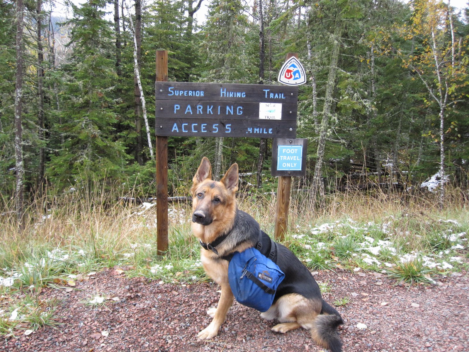
On a previous trip, I had my dog Timber with me, and he was wet, shivering and miserable. I spent half the night trying to find ways to keep him warm. I learned my lesson. On this trip, I packed two sleeping bags and two pads. One set for me, one set for him! The temps hit 37 during the night, and Timber was once again wet since it was raining before we gave up trying to get a fire going. This time, with a pad to insulate him from the ground, and a sleeping bag on top, he was toasty and a happy camper.
The first night, I slept in my Big Agnes Lost Ranger +15 bag, with the Therm-a-Rest NeoAir pad underneath. I woke up a few times with cold spots, especially where my side touched the ground. I was disappointed since the rating on the bag is +15 and I was nowhere near that temp. I realize that the NeoAir is not a great insulator. I have a very lightweight (1.9 oz) insulation pad (Gossamer Gear Thinlight) made just for this situation, but I had not packed the Thinlight on this trip. I decided to switch with Timber on night two and give my Montbell SS Downhugger #3 a try for comparison.
One of the interesting things about hiking in the fall is that with the short days, there are more hours of night than I knew what to do with! After reading for a while, I hit the sack, but it was still only 9:00 pm. It rained off and on during the night. I fell asleep hoping the rain would let up by morning and that I would not have to break camp in the cold rain.