I had switched sleeping bags with Timber for the second night. I used the Montbell SS Downhugger #3 to compare with the BA Lost Ranger +15 that I had used the previous night. I used the same NeoAir pad, and temps had once again gotten to 37 degrees. I was warmer in the Montbell than I had been in the BA Lost Ranger. I think the lack of bottom insulation in the BA bag, combined with the low insulation of the NeoAir was the reason. I was disappointed. I was expecting to use the BA Lost Ranger as my 'cold weather' bag. The +15 rating is not even close in my opinion. I would have been miserable at anywhere near these temps.
I took my time having breakfast and breaking camp. I finally started hiking at 9:49 am. It was promising to be a fantastic day for hiking. The weather was cool but dry, with mostly sunny skies.
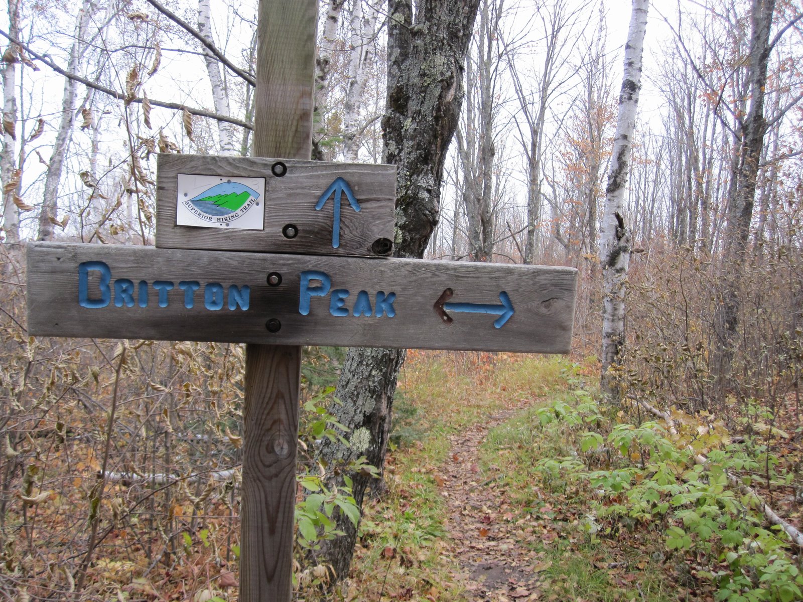
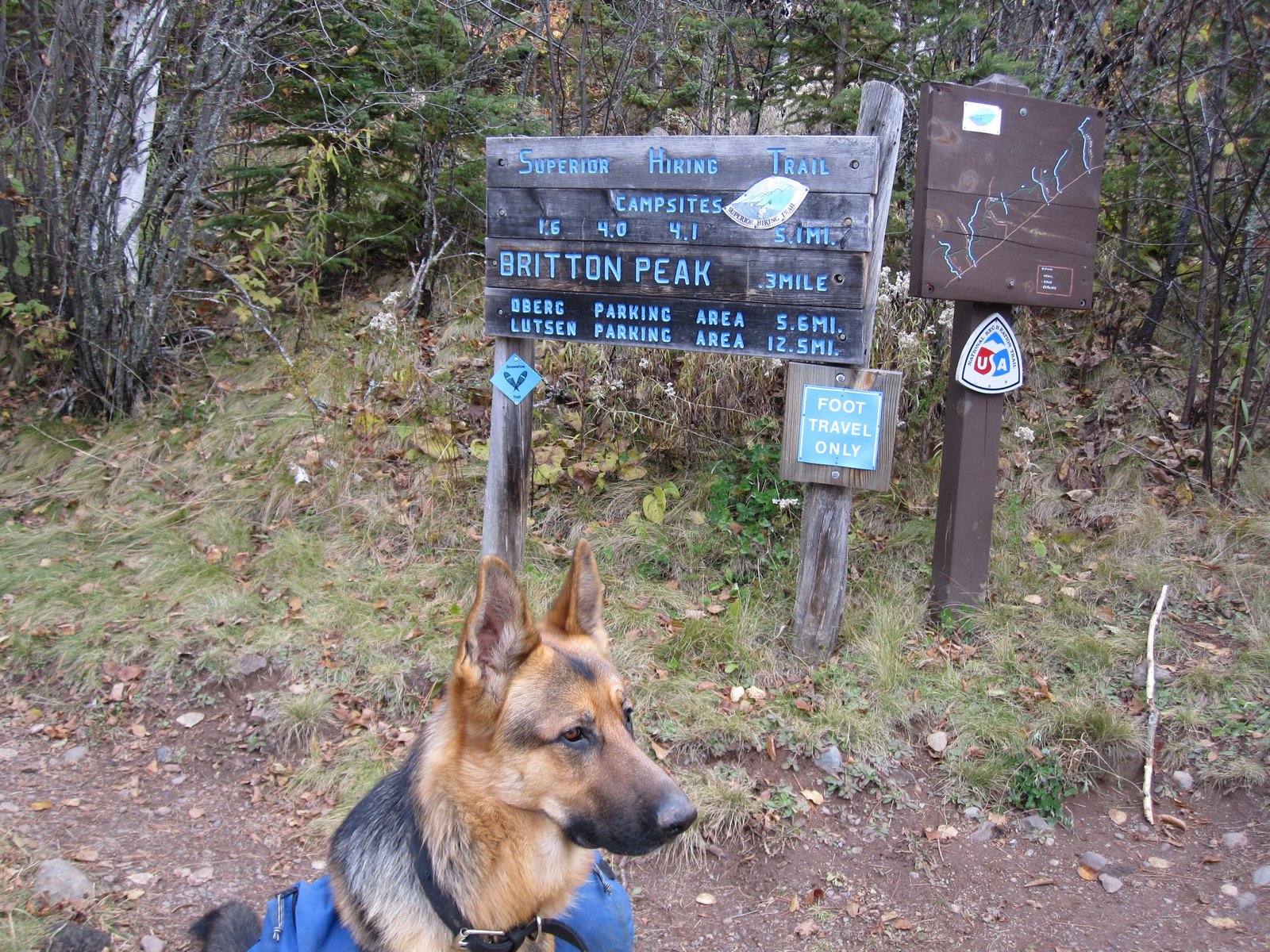
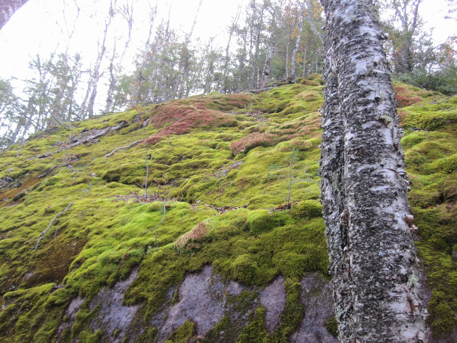
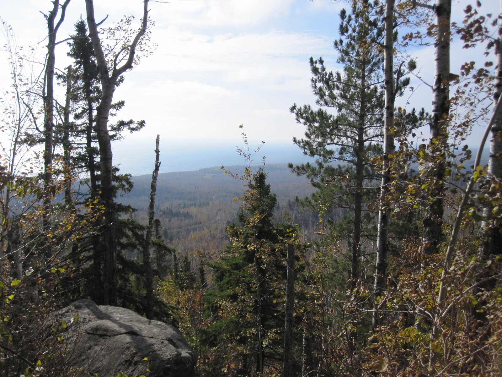
1.6 miles past Springdale Creek is the junction with the Britton Peak Trail. The trail crosses Cook County RD 2 and there is a campsite that is not in the SHTA guide. It has a picnic table and fire ring. I don't think it is an official SHT campsite since it is a dry camp and no latrine. Next on the trail is the climb up to the top of Carlton Peak. This is a fun hike. The rocks are moss covered, and the views are fantastic as you skirt the eastern edge of the peak.
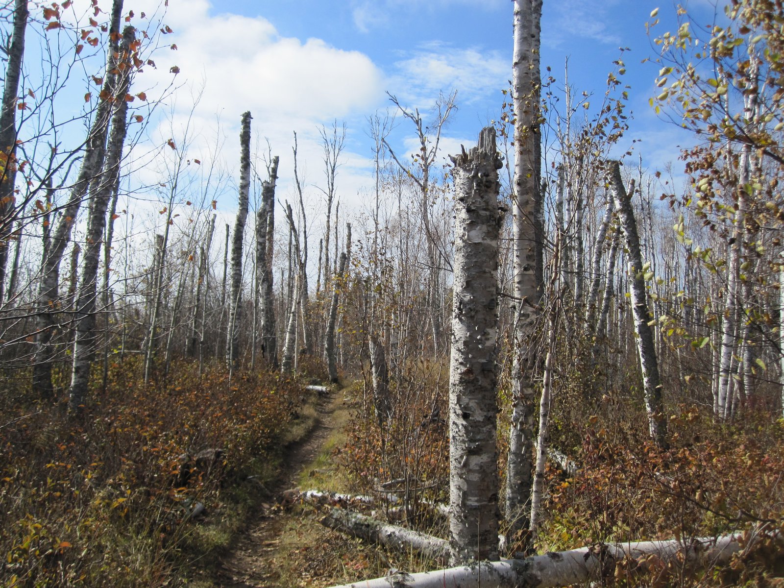
As I came down off Carlton Peak, I passed through a forest of trees where every tree had the top sheared off. Bizarre. Almost all were at the same height too.
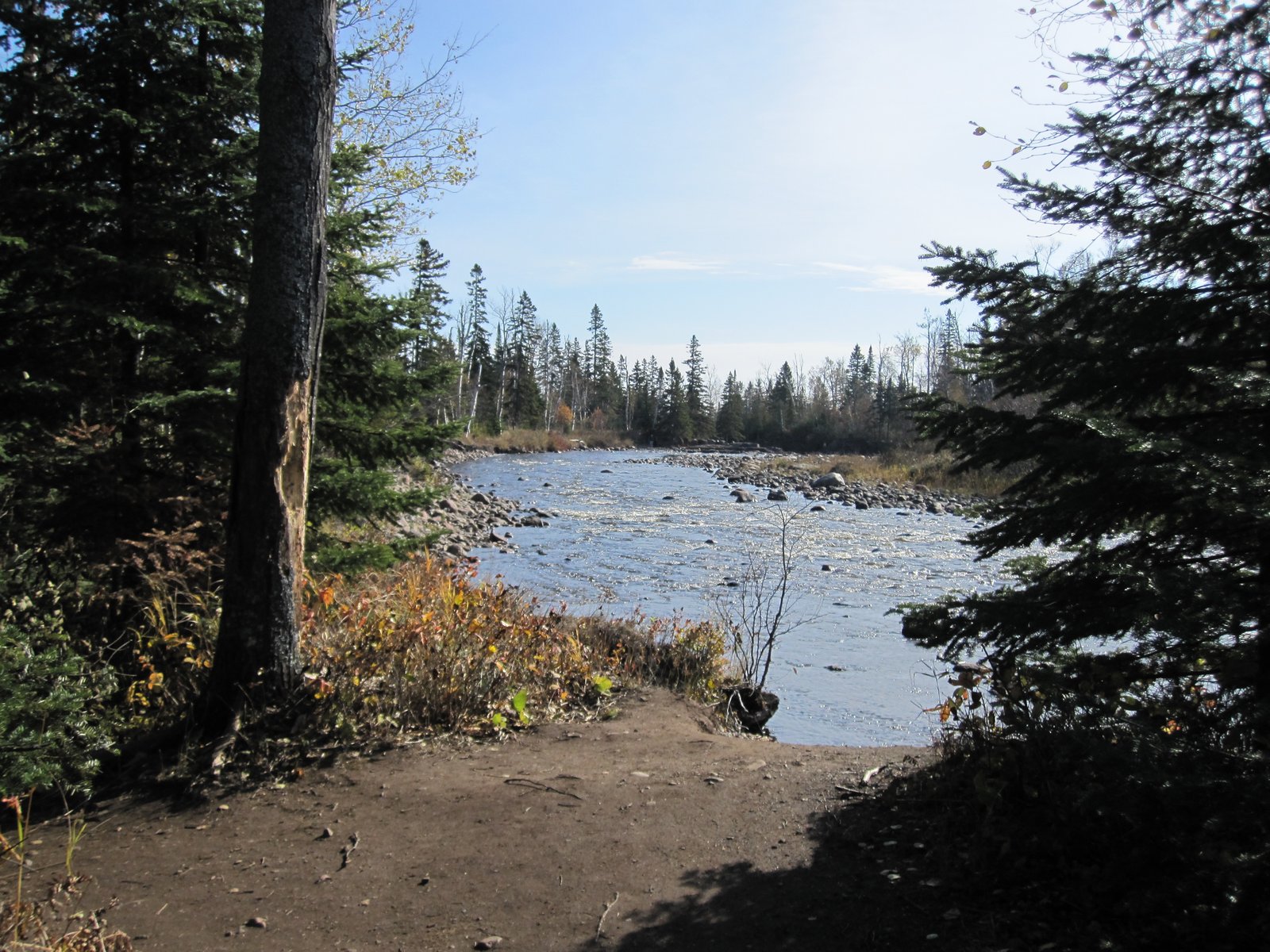
At 5.1 miles I finally reached the Temperance River. The day hikers once again increased significantly once I reached the river. Timber and I took some time to relax at the river, and Timber played with rocks that were at the rivers edge. There are some really neat falls and a gorge along the trail here.
It was just a short walk from the end of the trail back to my truck, and we concluded our 3 day hike! I really enjoyed the relaxed pace we had set for this trip. With the lower pack weight, I was MUCH more comfortable. I continue to refine what I carry and should be able to reduce the weight even more on future trips. I did wear a pair of boots instead of trail shoes on this trip. Wound up being a really good decision. The trail was wet and cold for the first two days, with snow most of the first day.