| Day 2 Profile |
Day 2 Route |
 |
 |

| Day 2 Profile |
Day 2 Route |
| |
|
I was woken up several times during the night to the sound of the rain hitting the tent. Whenever I woke up, I checked Timber to be sure he was still comfy. The rain finally stopped around 4am. It was still windy, and the temps dropped down to 37 during the night. When I got up with the sunrise, I was glad to see that the clouds had broken and that there was going to be at least a little sun in the morning!
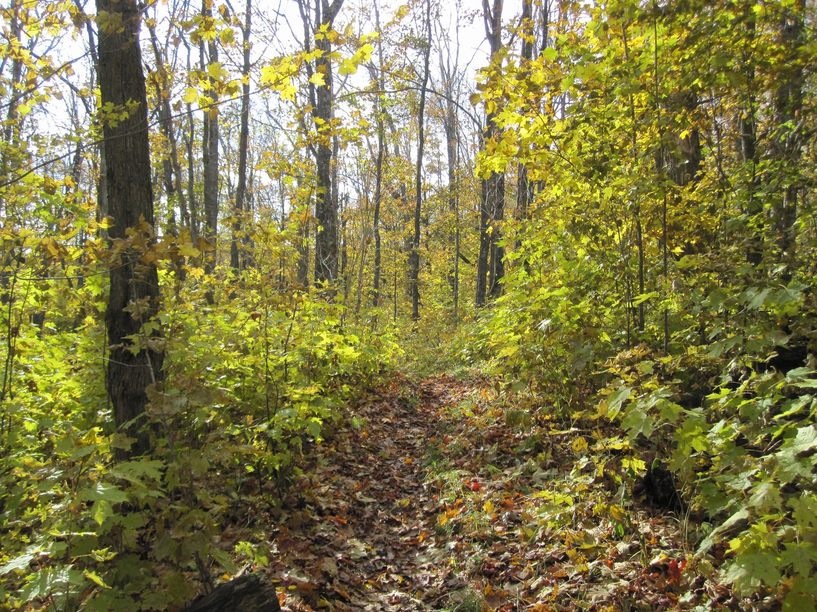
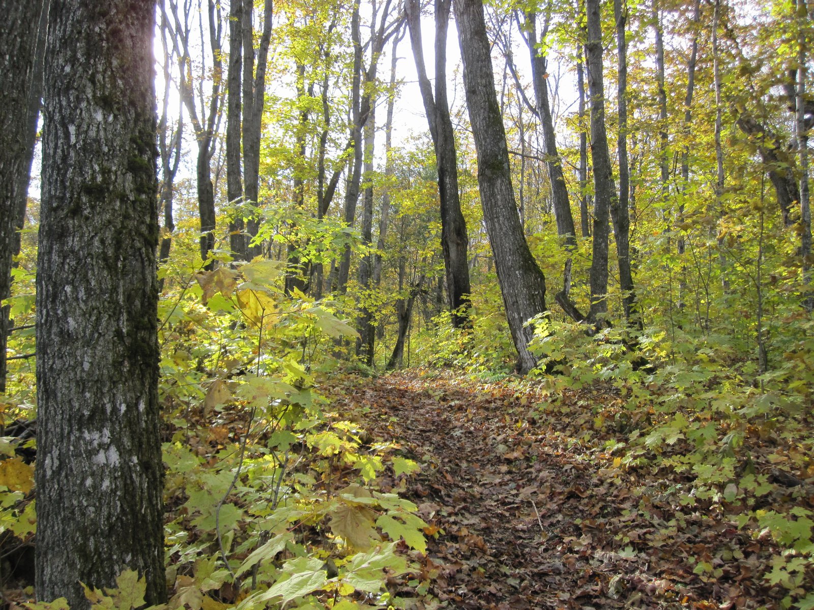
I wanted to let my ground cloth and rain fly dry out before packing it up, so I hung them in the breeze to dry before making breakfast. One of the nice things about not needing to cover a lot of miles in a day is that you can choose to rest, take photos, relax at a particularly nice spot, or get a late start and still have plenty of time to get to the next campsite before dark.
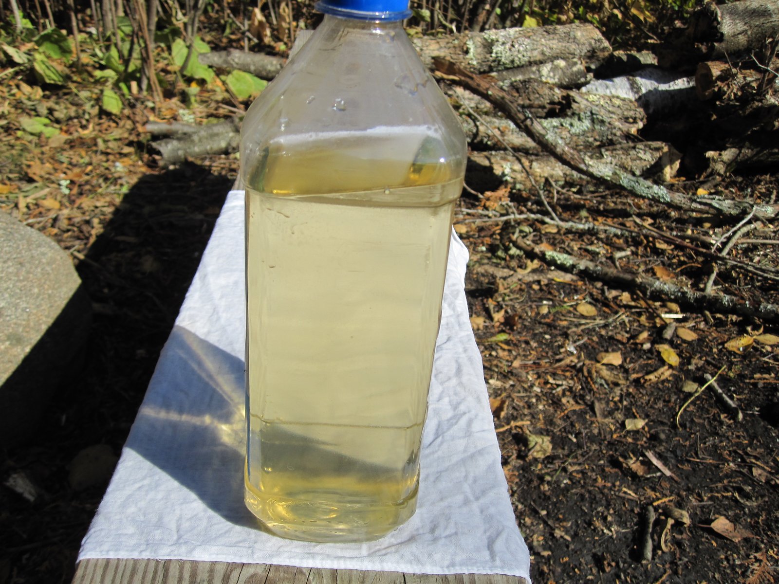
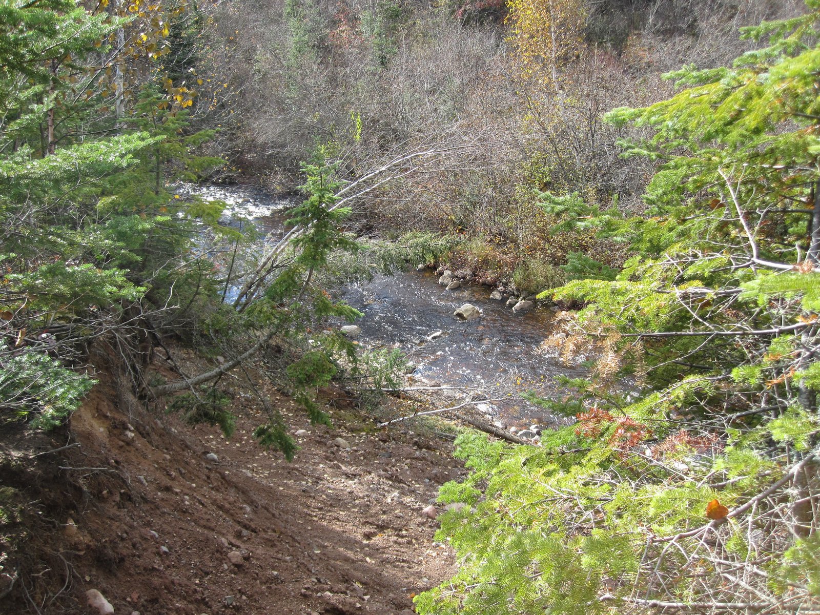
The water from Rollins Creek was a brown/rust color. Tasted fine, but didn't look very appetizing. The color was also present in other streams along this section of trail. I wonder if the color comes from high concentration of taconite in the area. I used my Steripen water purifier for the first time on this trip. Saves a lot of weight over my Katydyn water filter. It was easy to use and quickly purifies a liter of water. I do carry tablets as a backup in case the electronics fail on the Steripen.
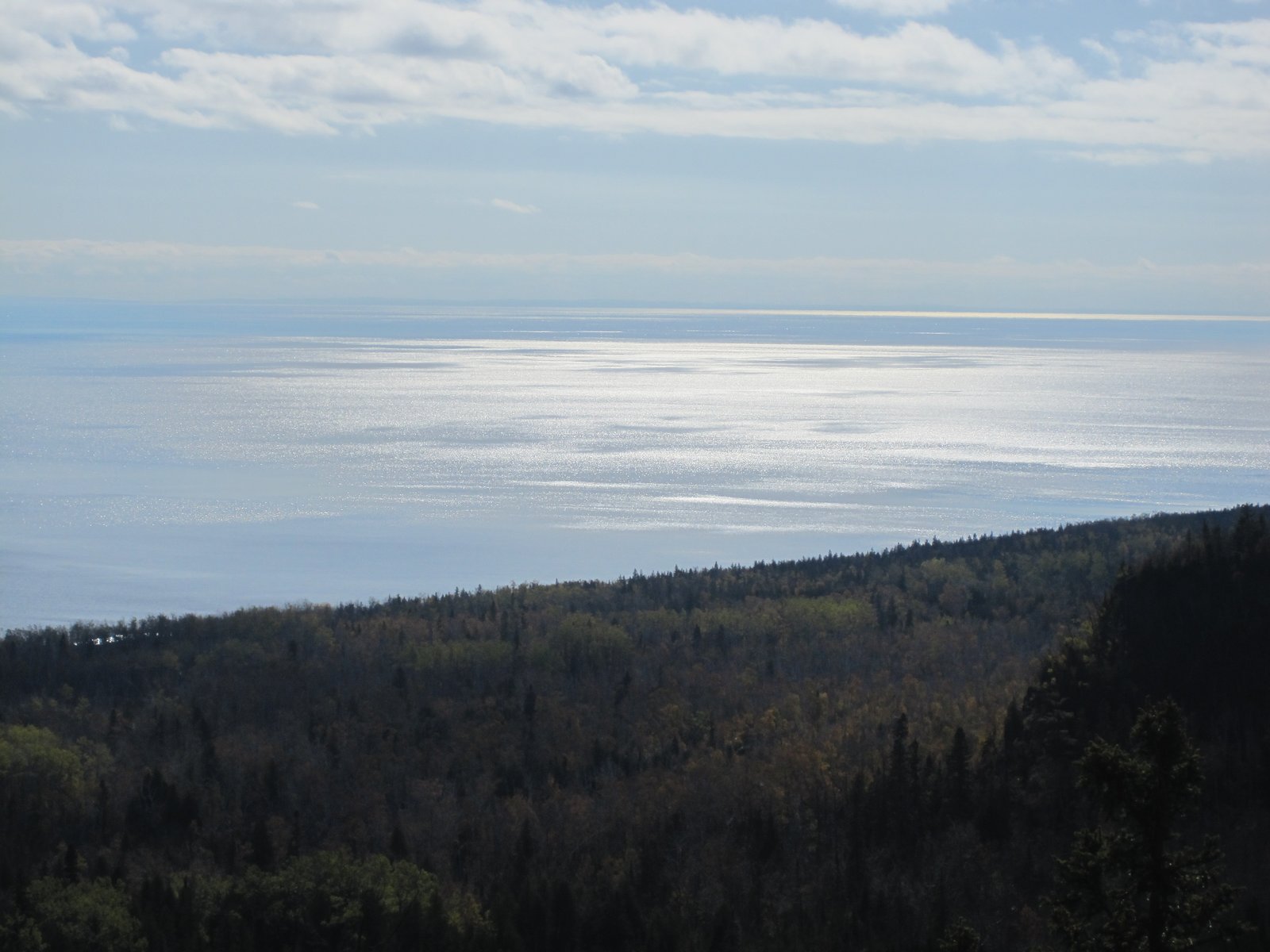
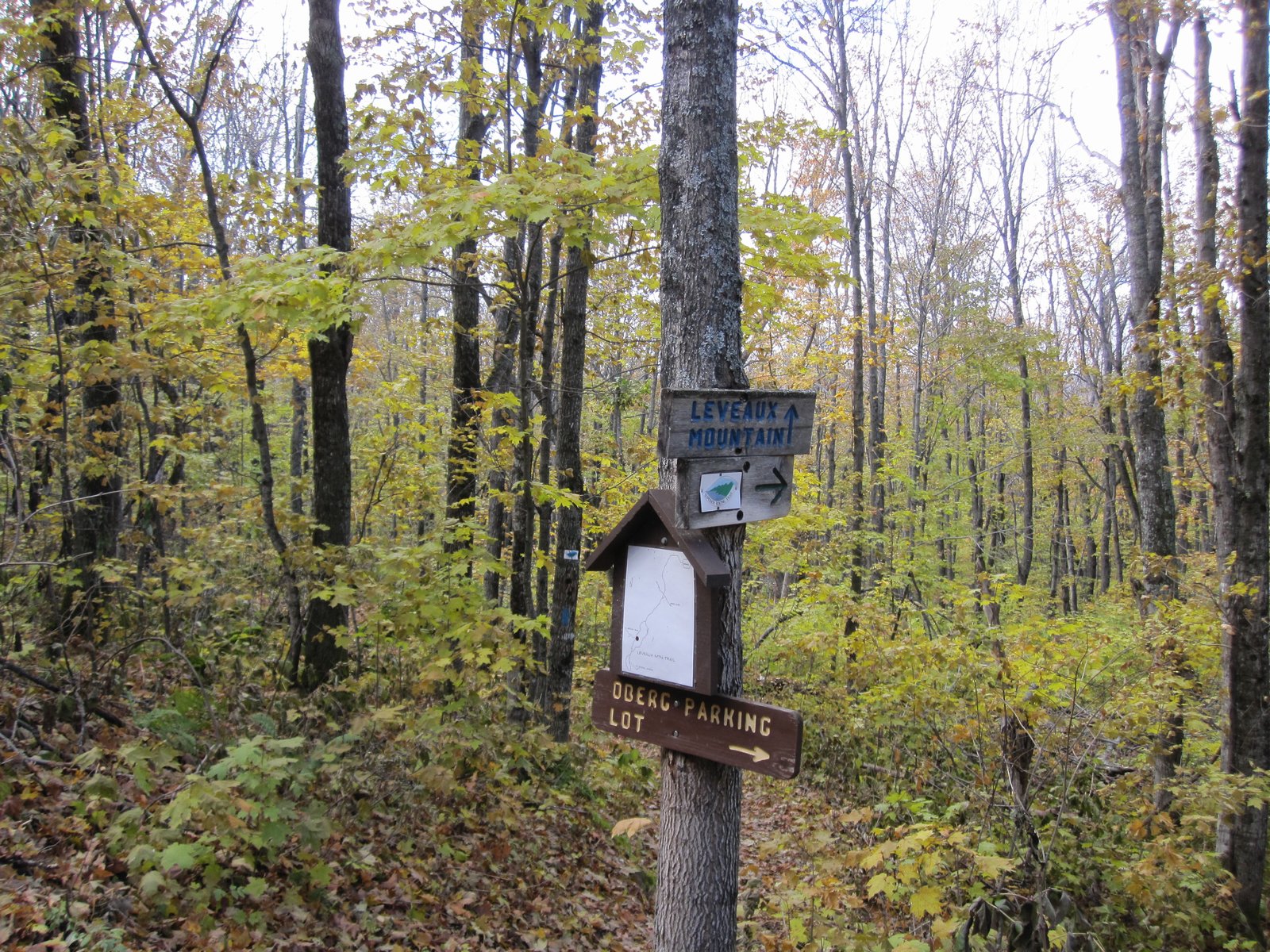
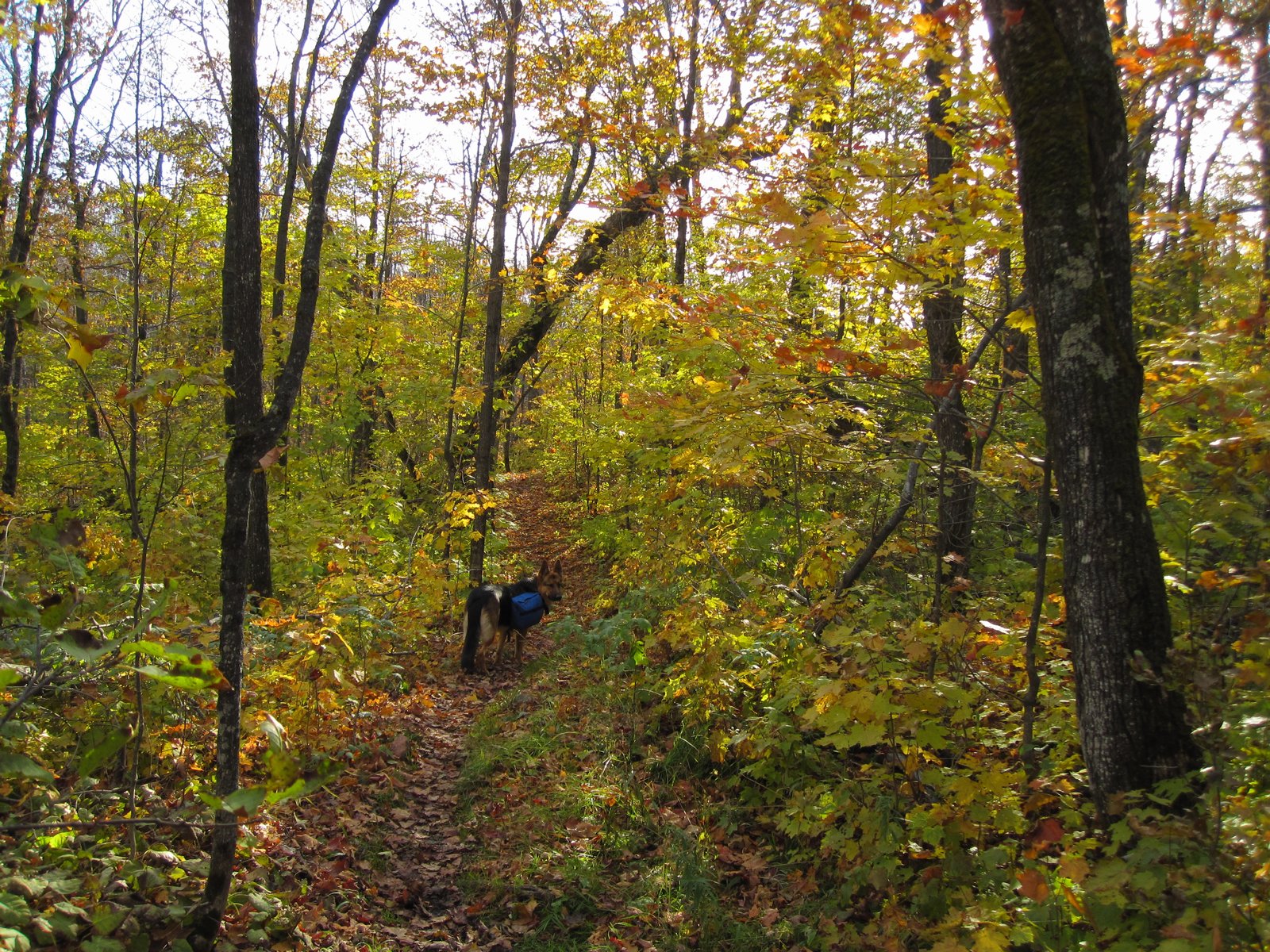
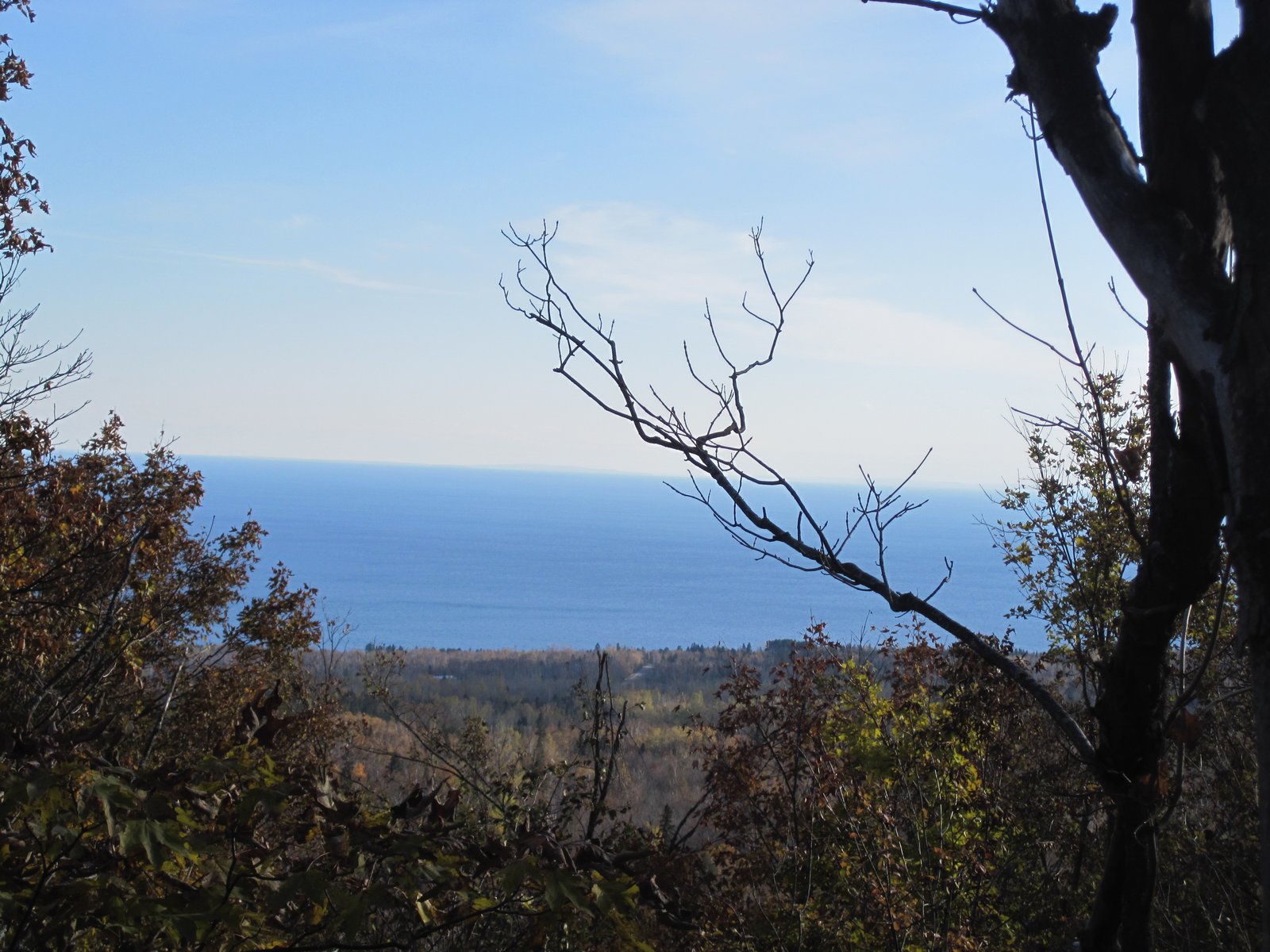
1.4 miles past Rollins Creek is the spur trail to Olberg Loop. At this trail junction the day hikers were out in force. I actually had to wait for several minutes to let the crowds pass by before I started up the trail. I am aware that many people are uncomfortable passing close to a large German Shepherd, so if the trail is narrow, I always have Timber do a sit/stay so folks can pass and know he is under control. It got silly on this trail however since there were at least 50 people that passed me on my way up Olberg. I was stopped more than I was hiking! However, I wanted to see what the fuss was about at the top. I didn't do the entire loop, just up to the first overlook of Lake Superior. There were great views of the Lake from the overlook. The sun broke through the clouds and the reflection off Lake Superior was beautiful. I took some pictures and headed back to the SHT.
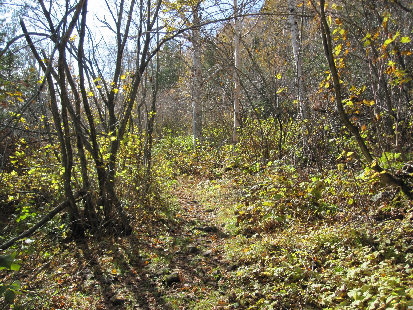
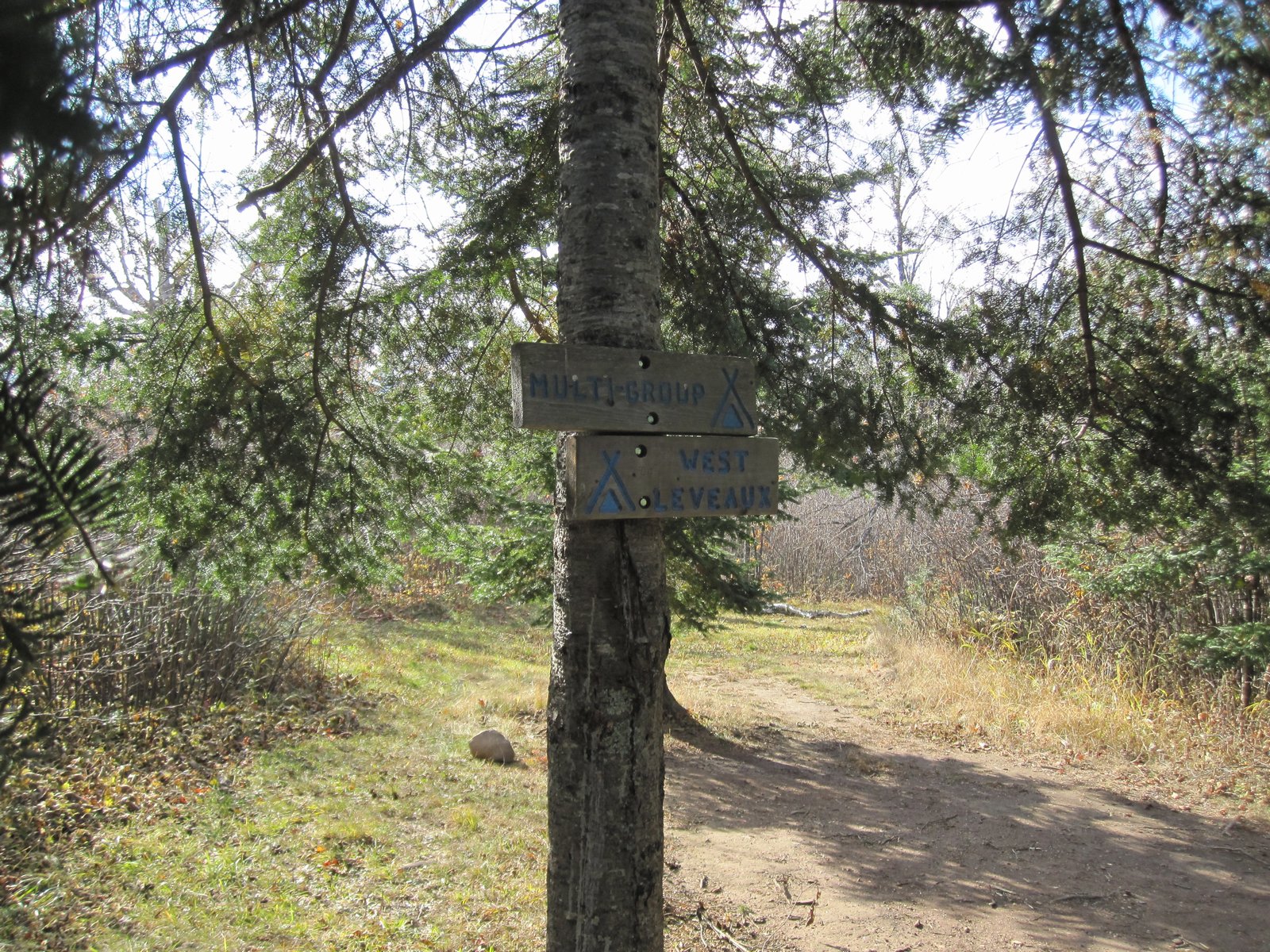
At 3.2 miles I crossed the bridge over the Onion River. There is a campsite at the river. 4.3 miles brings you to East and West Leveaux campsites. There is a pond at West Leveaux campsite. 5.3 miles brings you to the junction with the Carlton Peak Spur trail. I finally reached Springdale Creek Camp at 4:18 PM. The campsite sits close to the creek and about 75 feet above it. Things were much drier now, so I was able to gather firewood and get a nice campfire going. A hot cup of coffee, dinner, a warm fire, and I was very much enjoying the evening!
Just as it was getting dark, we heard a bizarre noise in the night. Timber was very nervous. He paced the perimeter of the campsite, staying in the light of the campfire. After the trip I learned that the noise was a Lynx. Here is a link to an audio of what we heard. It really was spooky to hear this out in the wild. Fun!!